Paris Map 1784

by Weston Westmoreland
Title
Paris Map 1784
Artist
Weston Westmoreland
Medium
Photograph - Photograph
Description
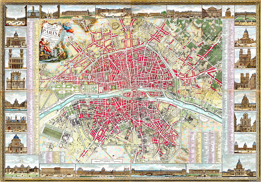
Paris Map, 1784.
The New Road Plan for the City and Suburbs of Paris (Nouveau plan routier de la ville et faubourgs de Paris), depicts Paris prior to the French Revolution.
Centered on the Seine, it covers Paris on both sides of the river. 28 views of places and landmarks surrounding the map were illustrated by M. Pichon and the map was engraved by Michel Glot. The map shows streets, parishes, colleges, hospitals, important buildings, landmarks, major squares and other points of interest. Includes tables identifying points of interest.
A beautiful snapshot of a Paris that existed for a while and was witness to the French Revolution, then changed into another, and another...
Weston Westmoreland
Uploaded
May 1st, 2021
Statistics
Viewed 92 Times - Last Visitor from Ottawa, ON - Canada on 04/10/2024 at 12:00 AM
Embed
Share
Sales Sheet


